About
Deliverables
Point Cloud Data (Raw Data)
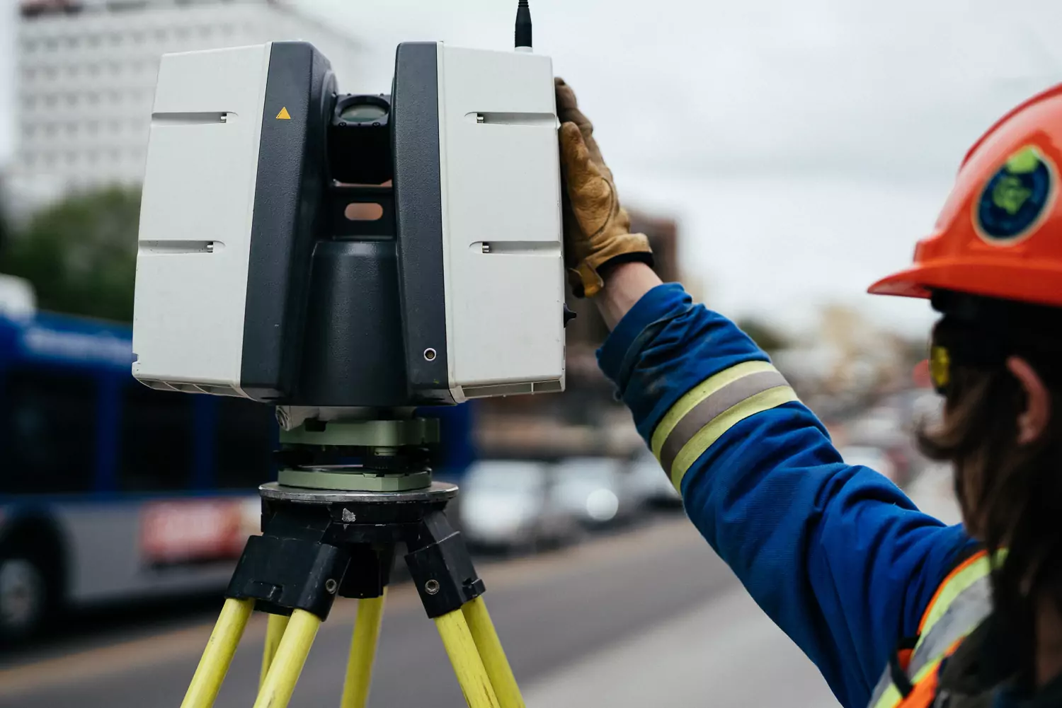
A point cloud is a collection of 3D data points captured by a laser scanner, each representing the X, Y, and Z coordinates of every visible detail on a project site. This data includes features such as doors, windows, walls, MEP equipment, ductwork, and steel structures. When imported into CAD software, the point cloud appears as a pixelated, digital representation of the site. Once in the software, the point cloud data can be parsed, manipulated, and adjusted to meet specific user requirements.
Point cloud data is imported into AutoCAD software to generate highly precise 2D CAD drawings. These drawings include floor plans, sections, and elevations, essential for construction planning and building modifications. Using 2D CAD software, technicians can document and annotate the drawings with text, dimensions, leaders, and tables. The data can be parsed, adjusted, and customized to meet specific user requirements
3D BIM Models
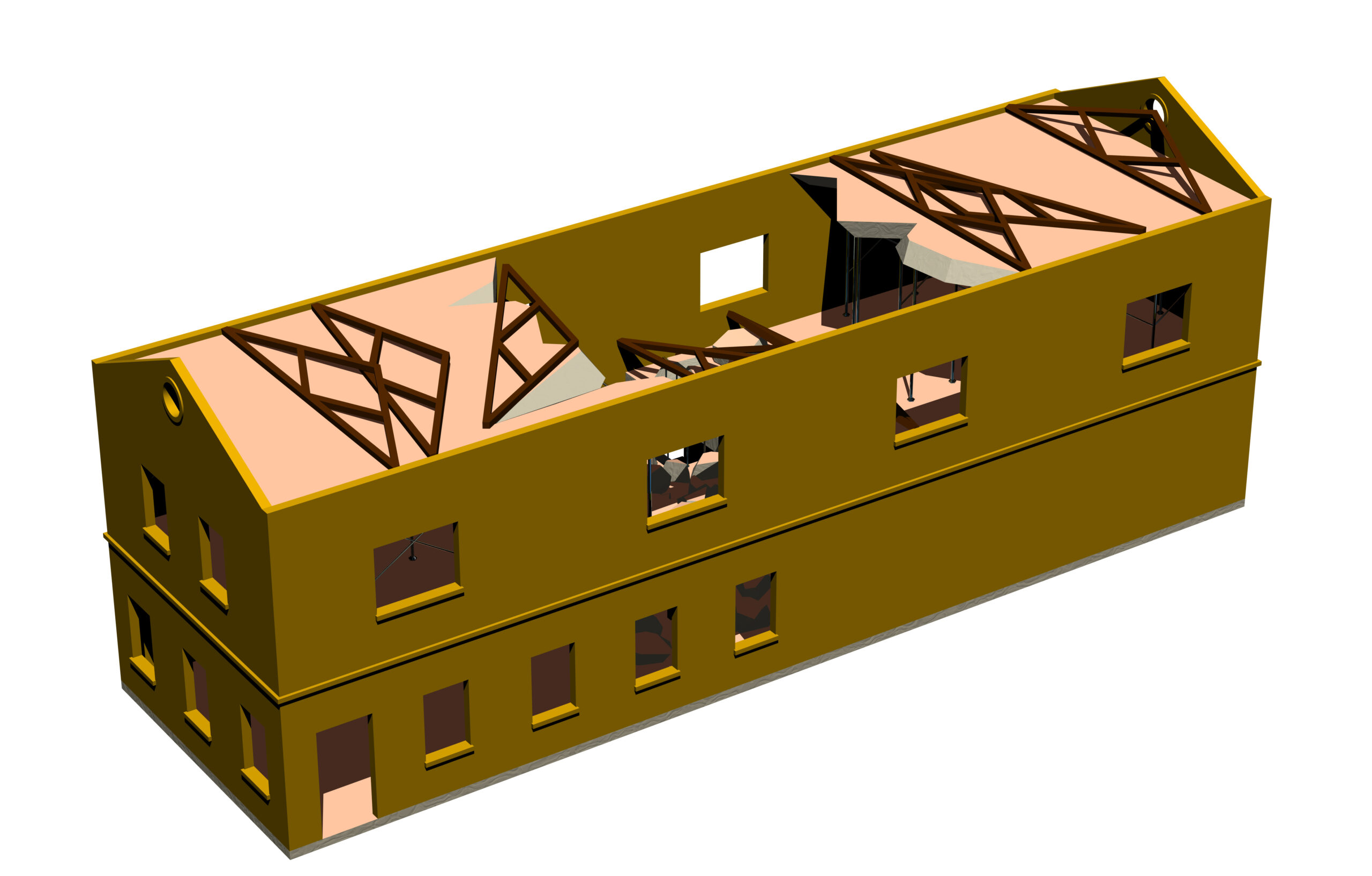
MAJO has mastered the technology of converting point clouds into 3D BIM models to enhance project planning and design. A 3D BIM model offers a geometrically precise representation of a building or site, capturing spatial relationships, infrastructure details, manufacturer specifications, and other relevant site information. This model allows users to analyze and modify individual building components—such as walls, columns, windows, and doors—and see how they integrate into the overall structure. By breaking down the building into its elements or layers, 3D BIM models bring intelligence and efficiency to project execution, transforming how projects are delivered across various industries.
3D Mesh
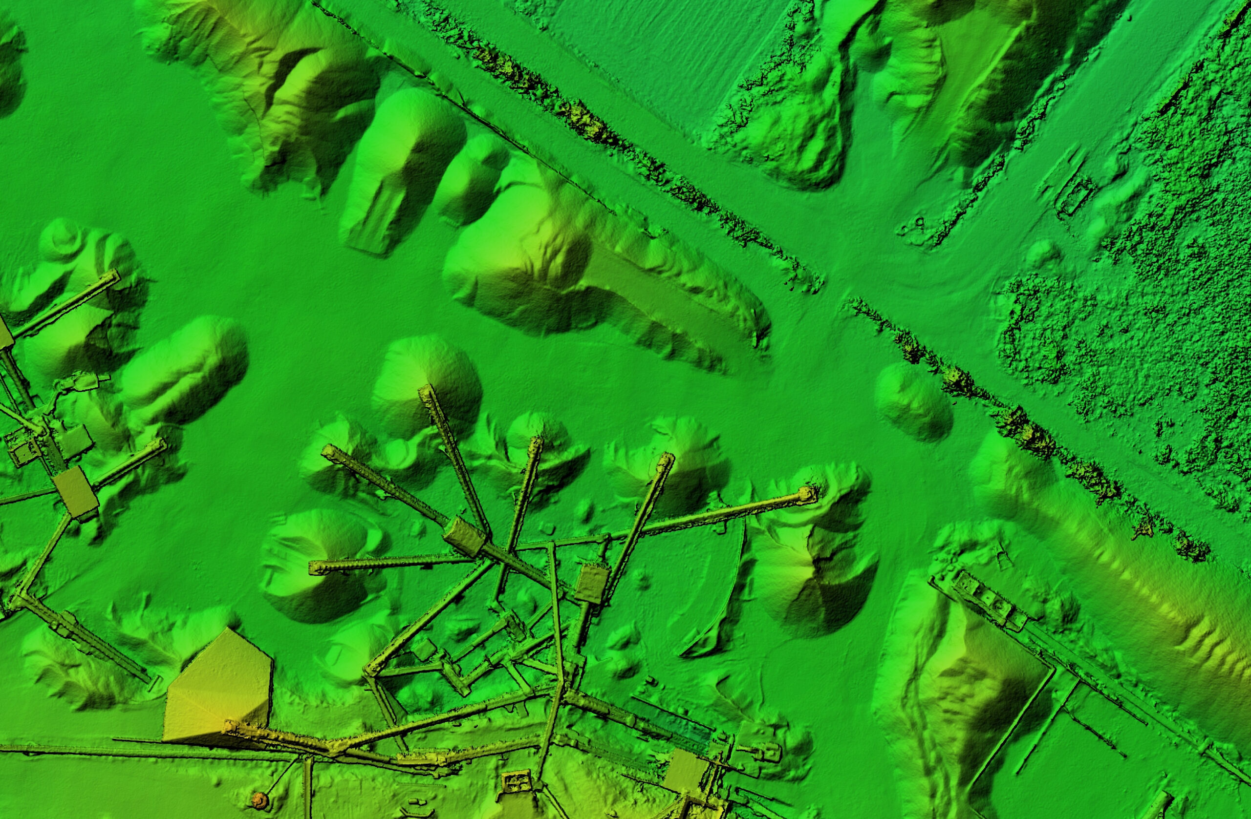
From point cloud data, 3D meshes can be created in file formats such as .fbx, .stl, .obj, and .ply. Our CAD technicians at GPRS use the x, y, z coordinates to generate a triangulated mesh, which is both volumetrically accurate and high in density and resolution. These meshes provide a detailed view of an object’s geometry within a CAD environment, eliminating the need to navigate through a point cloud. The resulting files are compact and user-friendly. 3D meshes are particularly useful for representing intricate, organic details—such as monuments and statues—that are challenging to reproduce in CAD. Additionally, mesh files of large structures like stadiums and arenas can be employed to create immersive mixed reality experiences for events.
Equipment
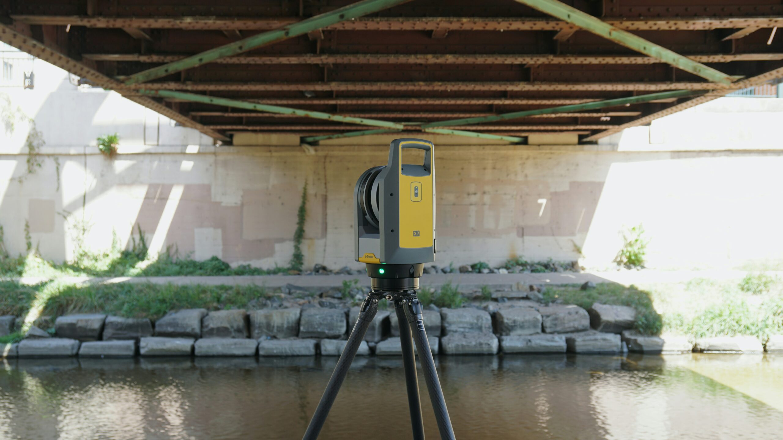
MAJO Surveying provides a comprehensive array of land surveying, laser scanning, photogrammetry, and visualization services. We collaborate closely with each client to define the project scope and utilize the appropriate tools to achieve the necessary accuracy and deliverables. In addition to point cloud data, we offer high-quality 2D and 3D CAD drawings, 3D BIM models, 3D meshes, and virtual tours. Our projects are delivered through user-friendly cloud-based platforms, via ShareFile, or on a hard drive, ensuring seamless access and management of your data.

