Who we are
Welcome to MAJO Surveying, where accuracy meets reliability. Founded in 2022, our company has established itself as a leader in providing high-quality land surveying services for residential, commercial, and industrial projects. With over 15 years of experience, our dedicated team of licensed professionals is committed to delivering precise and dependable results.22
- Boundary Surveys: Accurately determining property lines and corners to avoid disputes and ensure proper land use.
- Topographic Surveys: Mapping the contours and features of the land to assist in the planning and design of construction projects.
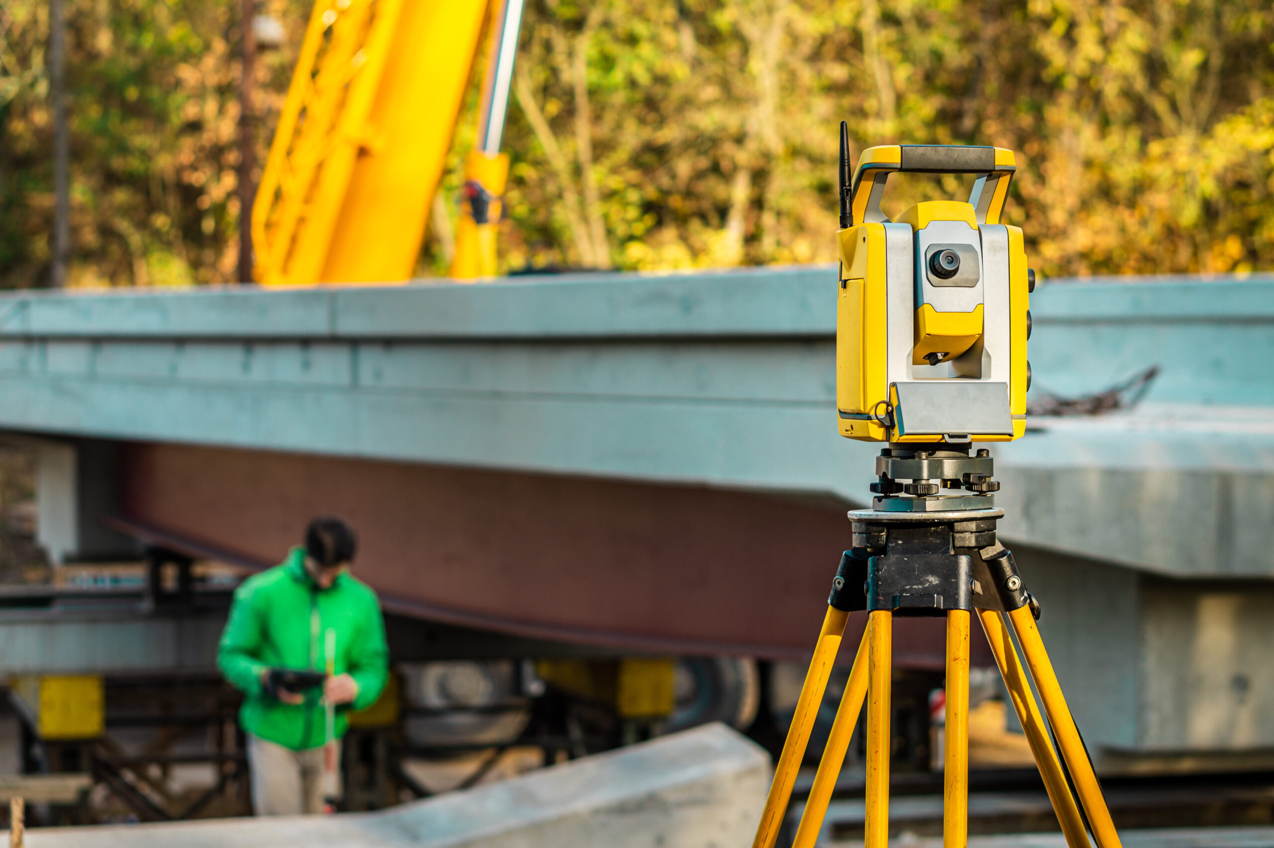
- Construction Staking: Providing precise locations and elevations for construction projects to ensure they are built according to design
How we work
We offer comprehensive land surveying services tailored to meet the diverse needs of our clients. Our expertise and cutting-edge technology ensure accurate and reliable results for a wide range of projects.
- Boundary Surveys
- Topographic Surveys
- Construction Staking
- Subdivision Surveys
- ALTA/NSPS Land Title Surveys
- GIS Mapping Services
- Environmental Surveys
- Land Development Consulting


Reality Capture in the Construction Industry
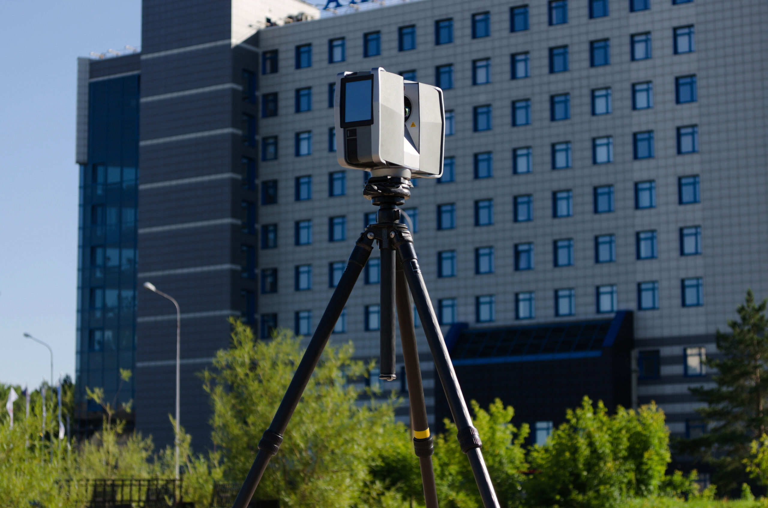
Reality capture in the construction industry is fast becoming commonplace. It helps builders stand out from the competition by accelerating the speed of construction, as data can be captured and stages signed off more efficiently. It also reduces risk – from pre-construction to project sign-off, as errors can be spotted more easily with continuous monitoring.
Reality capture in the construction industry is fast becoming established as ‘digital by default’. It can be a differentiator in bids and project delivery by supporting stage sign-off, engaging stakeholders, improving records, saving time, and reducing risk. From pre-construction to project completion, reality capture can deliver better outcomes from contractors and clients.

