Boundary & Topographic

Boundary & Topographic
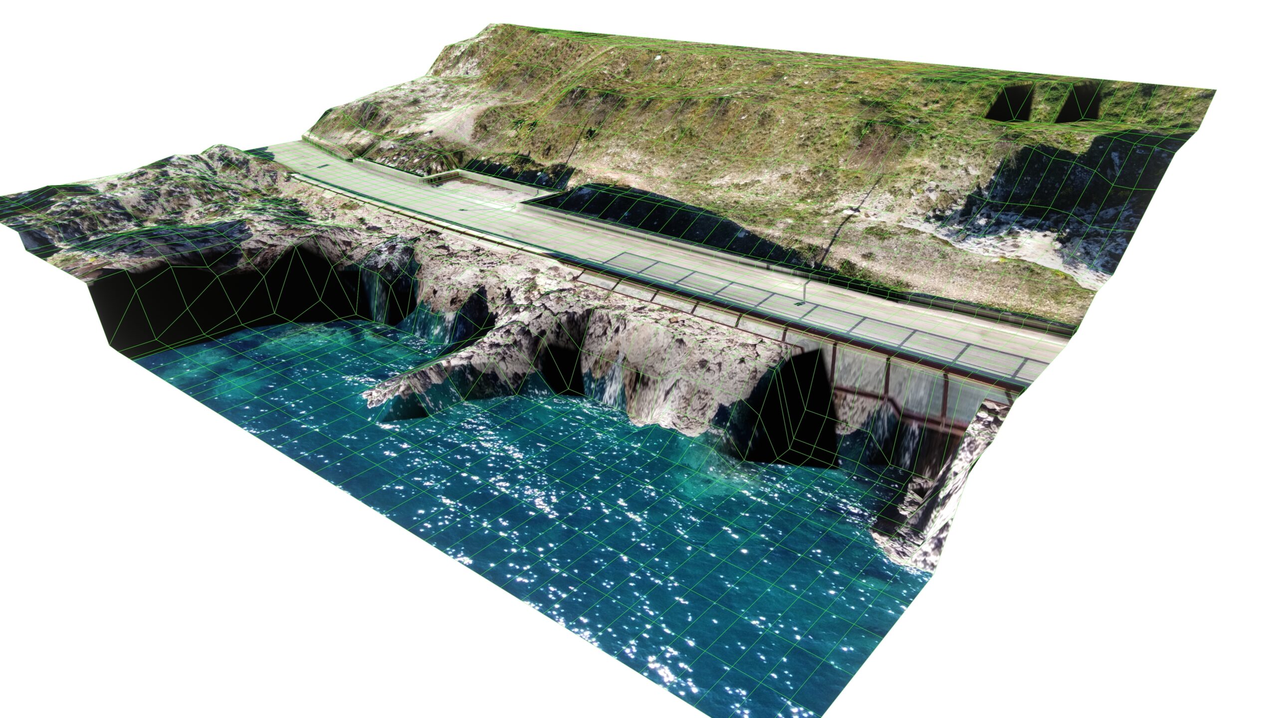
A Topographic Survey identifies both natural and man-made physical features of a property, such as buildings, driveways, trees, planters, fences, curbs, sidewalks, streets, and utilities. These details are ascertainable through surface inspection and official records. The survey includes spot elevations and contours that reveal water flow patterns across the site. Typically, it is conducted in conjunction with a Boundary Survey.
A comprehensive Boundary & Topographic Survey not only delineates these features relative to property boundaries but also maps any easements affecting the site.
When planning site improvements, a Boundary & Topographic Survey is essential. It serves as an initial step in the design process, providing architects and engineers with critical information to ensure that their designs harmonize with the existing site conditions.
Our surveys are highly valued by local architects and engineers for their meticulous quality and comprehensive detail, which facilitate effective and precise design decisions.
A Boundary Survey is conducted specifically to locate the corners and boundary lines of your property.
As part of our process, we thoroughly review the deeds of neighboring properties to identify any discrepancies or conflicts in the legal descriptions that could potentially impact your property rights.
Each point we establish is clearly marked with our surveyor’s name and license number. Additionally, we provide you with a detailed map that depicts these points, their type, precise position, their relationship to the boundary lines, and the overall area of your parcel. This ensures clarity and accuracy in understanding the boundaries of your property.
Easements
Easements serve various purposes, granting access to or from your property for utilities, vehicles, pedestrians, and other needs. They can also address encroachments like building or fence line issues. We frequently prepare legal descriptions for easements, ensuring clarity and compliance with regulations.
A newer type of easement gaining popularity is the “View Easement.” For example, if you live on a hillside with a scenic city view, you might want to protect it from obstruction by neighboring construction. In such cases, we create a legal description defining the position and height restrictions of the neighboring construction envelope to safeguard your view.
You determine the purpose of the easement. Our role as surveyors is to establish the legal boundaries using precise “metes and bounds” descriptions and to create a map showing the easement’s location on your property. These documents are recorded at the county along with the easement document detailing its purpose and the parties involved.
With extensive experience in preparing easements across the Bay Area, we excel in drafting clear and legible Easement Maps that accurately reflect your needs and ensure compliance with legal standards.

Expert Witness
If you are having a legal issue that goes to court and we were involved in any aspect of the surveying issues involved, we are prepared to testify about our involvement and defend the results and methods of our survey in a court of law.

